Advanced Flood Risk Assessment using Machine Learning, Deep Learning in Python with Generative AI
Registration is open for hands-on program designed to train participants in state of the art Flood Hazard, vulnerability and risk modeling using geospatial data and artificial intelligence.
Fee INR 6999/- (inclusive of taxes)
-
- Course Keywords: Flood risk assessment; Machine Learning; Deep Learning; Generative AI; Geospatial Analysis; Remote Sensing; Vulnerability Mapping; Ensemble Modelling; Satellite Imagery; Python Automation
Registration is open for lifetime access
- ML Models : Random Forest; XGBoost; Support Vector Machine; Ensemble Methods; Gradient Boosting
- DL Models : 2D CNN; LSTM; CNN-LSTM hybrid; ANN; GAN (Generative Adversarial Network); DeepLabv3+; GWO (Grey Wolf Optimizer)
Build next-generation flood risk assessment systems using AI & geospatial intelligence.
The program emphasizes hands-on Python implementation, real-world datasets, model benchmarking, and research-grade outputs suitable for journal publications, consultancy projects, and decision-support systems.
12 Weeks (24 Classes, 48 Hours Total)
Pro tips for preparing articles
Self-paced course with access for a lifetime and unlimited viewsCollaboration opportunity with AIGR Mentors
Course Completion Certificate from Advances in Geographical Research
Downloadable study material with the course curriculum
Advanced Flood Risk Assessment using Machine Learning, Deep Learning in Python with Generative AI
Course Curriculum
Session 1:
- Bibliometric analysis of 769 flood research papers
Session 2:
- Study area selection and geospatial metadata
Session 3:
- Satellite data acquisition (Sentinel-2, Landsat 8/9)
Session 4:
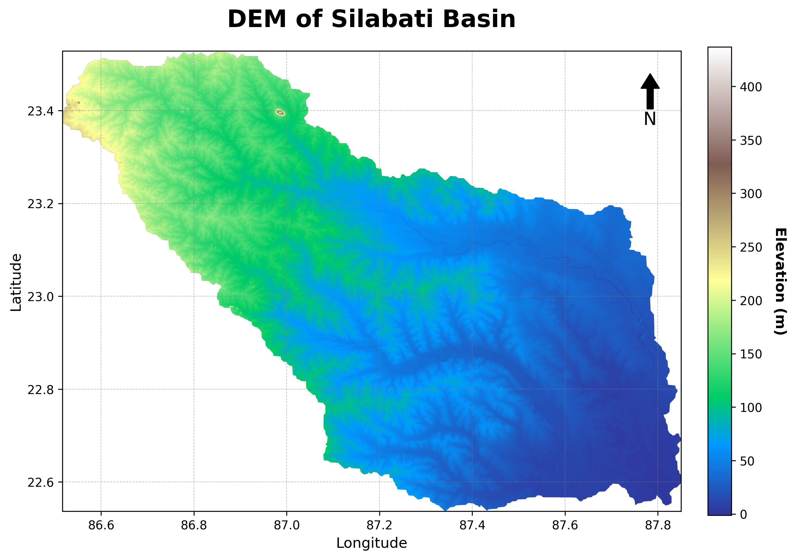
- DEM preprocessing and topographic analysis
Session 5:
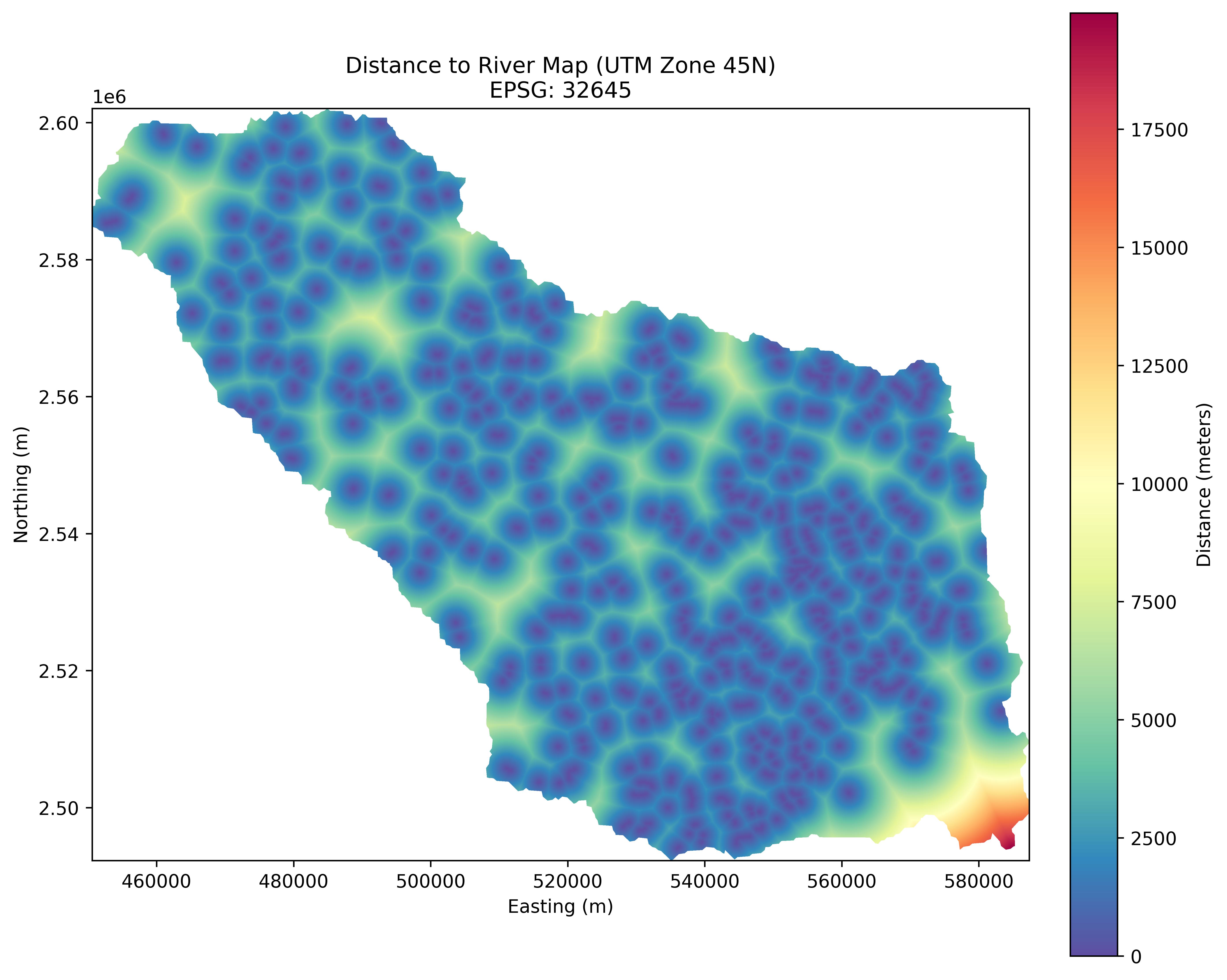
- Flood Hazard Parameters (14 total): DEM, Slope, Curvature, Aspect, TWI, SPI, Drainage Density, Distance-to-River, Distance-to-Road, Flow Accumulation, NDVI, MNDWI, LULC, Lithology, Soil, Building Footprints, Structure Density
Session 6:
- Flood Vulnerability Parameters (11 total): Population Density, Vulnerable Populations, Economic Stability, Education Level, Flood Awareness, Gender Distribution, Age/Elderly Rate, Population Growth, Distance-to-Shelter, Historical Flood Experience
Session 7:
- Spectral Indices: NDVI, MNDWI calculations from Sentinel-2 data
Session 8:
- Supervised Classification: LULC mapping with 80%+ accuracy
Session 9:
- Ensemble Methods: Random Forest (AUC >0.85) and XGBoost (AUC >0.85)
Session 10:
- Neural Networks: ANN architecture for hazard mapping
Session 11:
- Convolutional Networks: 2D-CNN for spatial flood patterns (80%+ accuracy)
Session 12:
- Temporal Modeling: LSTM for flood forecasting
Session 13:
- Hybrid Models: CNN-LSTM integration for spatiotemporal analysis
Session 14:
- Vulnerability Mapping: RF, XGBoost, ANN, CNN methods
Session 15:
- Risk Integration: Hazard × Vulnerability × Exposure framework
Session 16:
- Ensemble Risk: Combining predictions from 4+ models
Session 17:
- Uncertainty Quantification: Confidence intervals and model agreement maps
Session 18:
- Generative AI: GAN-based flood visualization (conditional GAN with physics constraints)
Session 19:
- LLM Integration: Automated report generation, chatbot for flood information
Session 20:
- Statistical Analysis: Comprehensive metrics, confusion matrices, ROC curves
Session 21:
- Python Automation: End-to-end workflow integration
Session 22:
- Capstone Project
Session 23:
- Capstone Project & Course Wrap-up
Session 24:
- Course Conclusion: Review, Q&A, and resources for further learning.
Meet Your Mentor
Dr. Arnab Ghosh is a dedicated water resources professional with a PhD in Water Resources Engineering from Jadavpur University. His core competencies lies in numerical modeling (HEC-RAS 1D/2D, MIKE 11, SWAT), field data collection (ADCP, DGPS), and employing Python/R for data analysis and predictive modeling of hydrological processes. His research, detailed in several peer-reviewed publications, quantitatively analyzes riverbank stability, bridge scouring, sediment yield, and flood inundation. As a former Senior Researcher and current Hydrology Consultant, he has successfully led and contributed to industrial and government projects concerning EIA/EMP studies, dam safety, water availability, and wetland valuation.

Who is this course for?
Researchers who want to enhance their Geospatial analysis skills with the application of Python, ML and DL
GIS Analysts aiming to enhance their spatial analysis capabilities
Professionals in the field of Environmental monitoring, Geospatial science etc. eager to publish impactful research
Researchers aspiring to contribute to high-impact journals with their research findings
Graduates and postgraduates seeking practical and applicable skills in Geospatial science
Individuals passionate about understanding and addressing environmental changes through data-driven, ML, DL insights
2,000+ students have already transformed their Research Journey with AIGR
How The Course Benefits You?
Flexibility & convenience of time and space
A gold-standard certification signifies of excellence and reliability in a particular field
Access to expertise & world-class curriculum
Enjoyment and confidence in publication research paper
Instructor's continuous support, holding your hand step-by-step to develop high-quality analysis using real data
1:1 Sessions with experts
Frequently Asked Questions
1. What are the prerequisites for attending this program?
The prerequisites for attending this program include basic Python, GIS fundamentals, introductory statistics .
2. Are the classes Live or recorded?
We understand that everyone has a different schedule, which is why our program is designed to be flexible. On average, participants should expect to dedicate around 3-5 hours a week to the workouts and meal preparation. However, we provide various options to fit your routine.
We understand that everyone has a different schedule, which is why our program is designed to be flexible. On average, participants should expect to dedicate around 3-5 hours a week to the workouts and meal preparation. However, we provide various options to fit your routine.
3. Are there any additional resources or materials provided as part of the program?
Along with the program sessions, participants will have access to additional learning resources and materials. These may include reference guides, sample datasets, and supplementary readings to further enhance understanding and practice coding.
Along with the program sessions, participants will have access to additional learning resources and materials. These may include reference guides, sample datasets, and supplementary readings to further enhance understanding and practice coding.
4. Will I receive a certificate upon completion of the program?
Yes, upon successful completion of the program, participants will receive a certificate of completion. This certificate validates the skills and knowledge acquired during the program and can be a valuable addition to your professional credentials.
5. Can I contact the instructors or program organizers for further assistance or clarifications?
Absolutely! Our instructors and program organizers are readily available to assist participants with any questions or clarifications they may have throughout the program. You will have the opportunity to engage with them during interactive sessions, Q&A sessions, and through dedicated channels of communication provided by the program.
Absolutely! Our instructors and program organizers are readily available to assist participants with any questions or clarifications they may have throughout the program. You will have the opportunity to engage with them during interactive sessions, Q&A sessions, and through dedicated channels of communication provided by the program.
6. Which Machine learning and Deep learning models will be covered in the course?
ML Models : Random Forest; XGBoost; Support Vector Machine; Ensemble Methods; Gradient Boosting
DL Models : 2D CNN; LSTM; CNN-LSTM hybrid; ANN; GAN (Generative Adversarial Network); DeepLabv3+; GWO (Grey Wolf Optimizer)