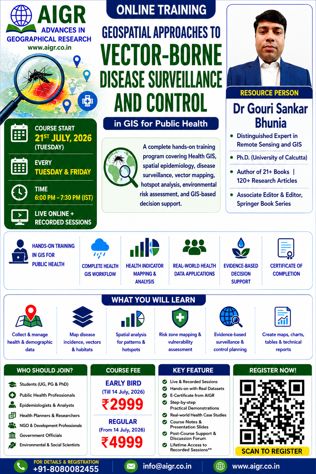
Geospatial Approaches to Vector-Borne Disease Surveillance and Control
in ArcMap & QGIS
Develop industry-ready skills in Health GIS by mastering disease surveillance, vector-borne disease risk mapping, hotspot analysis, spatial modelling, and public health decision support using ArcGIS and QGIS through comprehensive hands-on training.
Course Starts
10 August 2026
Schedule
Every Monday & Saturday; 8:00 to 9:30 pm (IST)
Duration
12 Hours (8 Sessions)
Mode
Live Online + Recorded
About the Training Program
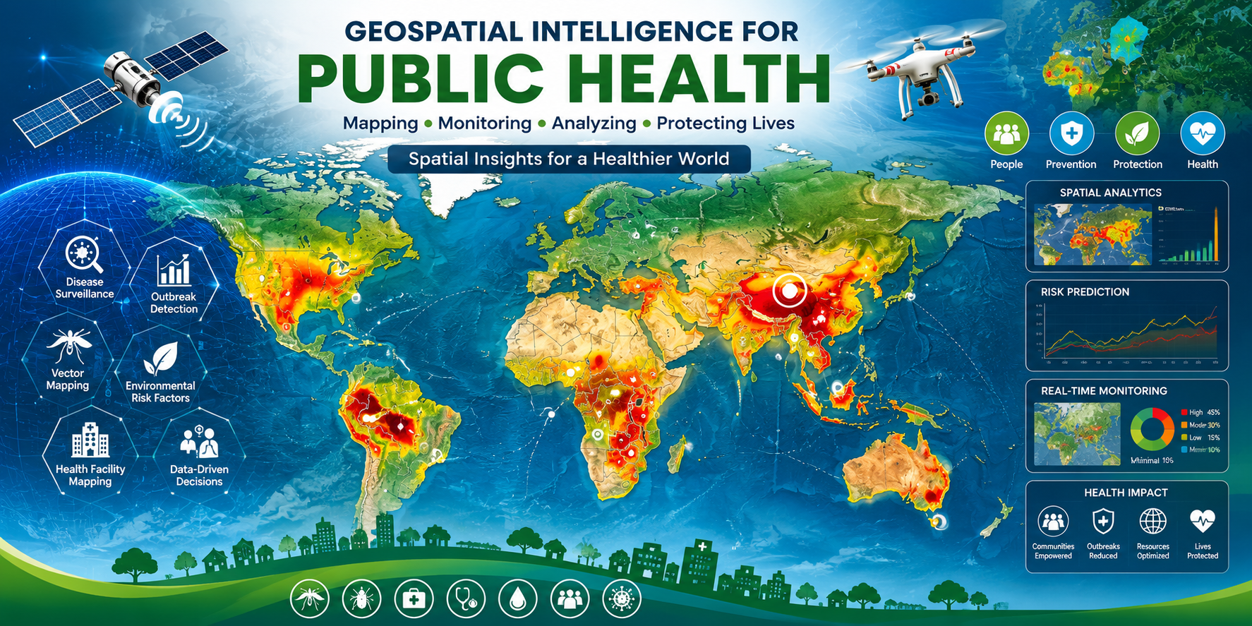
This online course provides a comprehensive understanding of vector-borne diseases (VBDs) through the lens of geography and geospatial technologies. The course emphasizes the importance of spatial thinking in public health and demonstrates how disease patterns are rarely random but strongly shaped by geographic and ecological contexts. A core focus of the course is the practical implementation of Geographic Information Systems (GIS) in disease surveillance and control. Learners will gain hands-on exposure to GIS platforms such as ArcGIS and QGIS for mapping disease incidence, vector habitats, healthcare accessibility, and population vulnerability. The course also explores the identification and analysis of environmental and climatic determinants of vector-borne diseases. By linking environmental variables with disease occurrence, learners will understand how GIS supports early warning systems and targeted intervention strategies.
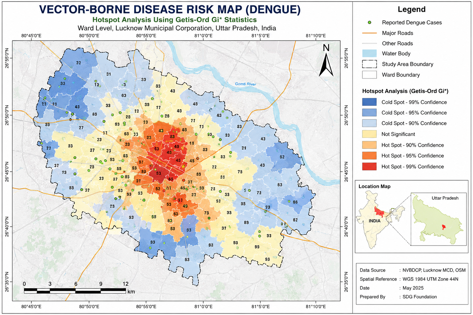
An important component of the course is geostatistics and spatial risk analysis. Multi-Criteria Decision Analysis (MCDA) will be used to integrate multiple heterogeneous criteria environmental, social, infrastructural, and economic to evaluate risk, suitability, or priority zones across geographic space. Learners will be introduced to concepts such as spatial autocorrelation, hotspot analysis, cluster detection, interpolation, and risk zone delineation. These techniques help identify high-risk areas, prioritize surveillance, optimize vector control measures, and support resource allocation.
Who Is This Course For?
- 👨🎓 Students, researchers, and professionals from Social Sciences, Environmental Science, Ecology, Geography, Urban Studies, and Earth Sciences who wish to apply geospatial tools to health-related challenges.
- 🏥 Public Health Professionals
- 🌍 GIS Professionals working in health-related fields, including public health, epidemiology, community health, disease surveillance, environmental health, disaster risk reduction, and climate impact studies.
- 🦟 Epidemiologists
- 🏛 Government Officers
- 🌱 NGO Professionals and development practitioners engaged in vector control programs, health monitoring systems, and sustainable development initiatives.
Key Features
- ✔ Live and Recorded Sessions
- ✔ Hands on with Real Database
- ✔ Real-world Case Study
- ✔ Certificate of Completion
- ✔ Post Course Support and Discussion Forum

Dr. Gouri Sankar Bhunia
Distinguished Expert in Remote Sensing & GIS
Dr. Gouri Sankar Bhunia is a distinguished expert in Remote Sensing and Geographic Information Systems (GIS), with a robust background in environmental modeling and geospatial analysis. He earned his Ph.D. from the University of Calcutta, India, in 2015, focusing his dissertation on utilizing geospatial technology for environmental control measures of infectious diseases, particularly visceral leishmaniasis (kala-azar).
Dr. Bhunia’s research interests encompass environmental and disease modeling, spatial risk assessment, natural resource mapping, and geospatial data mining, integrating advanced GIS and remote sensing techniques for evidence-based decision-making. He has an outstanding scholarly record, having published over 120 peer-reviewed research articles, numerous book chapters, and more than 21 books (including monographs and edited volumes) with leading international publishers such as Elsevier, Springer Nature, and Taylor & Francis.
Dr. Bhunia has held important academic roles, including serving as a Visiting Faculty member at a private university in West Bengal, India. He has successfully supervised and guided several Ph.D. scholars and has delivered numerous invited lectures and keynote talks in national and international academic programs. He has also conducted extensive professional training programs in Remote Sensing and GIS for academic institutions and professionals at both national and international levels. Dr. Bhunia serves as Associate Editor of the Indian Journal of Soil Conservation and has acted as Guest Editor for reputed journals such as Environmental Science and Pollution Research and Applied Water Science, WebLog Open Access Publications, IEREK Press, Discover Science. Currently, he is the Editor of the Springer Nature book series “GIScience and Geo-environmental Modelling”, contributing significantly to advancing geospatial research and interdisciplinary environmental science.
GIS Modeling Curriculum
A complete hands-on training program covering Health GIS principles, disease surveillance, spatial epidemiology, vector risk mapping, hotspot analysis, and evidence-based public health decision support using GIS and remote sensing.
- Concept and classification of vector-borne diseases
- Vectors, hosts, reservoirs, and transmission cycles
- Spatial and temporal dimensions of disease spread
- Role of geography in disease ecology
- Introduction to spatial epidemiology and public health GIS
- Global and regional burden of vector-borne diseases
- Applications of geospatial tools in disease surveillance and control
- Introduction to Geographic Information Systems (GIS)
- Spatial Data Types (Vector & Raster)
- Sources of Spatial Health Data
- Health Departments & Open Data Portals
- Data Formats
- Map Scale & Resolution
- Spatial Accuracy Assessment
- Introduction to ArcGIS
- Introduction to QGIS
- Administrative Boundary Map
- Epidemiological Data Collection
- Disease Incidence & Prevalence Data
- Temperature Data
- Rainfall Data
- Humidity Data
- NDVI
- NDWI
- Population Datasets
- Socio-economic Data
- Geocoding Health Records
- Data Cleaning & Normalization
- Data Integration
- Creation of Vector Data
- Overlay Analysis
- Buffer Analysis
- Grid-wise Estimation
- Environmental Driver Analysis
- Disease Occurrence Analysis
- Disease Incidence Mapping
- Disease Prevalence Mapping
- Thematic Mapping
- Time-Series Mapping
- Spatial Pattern Analysis
- Anomaly Detection
- Cartographic Design Principles
- Health Map Communication
- Descriptive Statistics
- Measures of Central Tendency
- Measures of Dispersion
- Data Summarization in Microsoft Excel
- Exploratory Data Analysis
- Linking Statistics with GIS Outputs
- Spatial Autocorrelation
- Global Spatial Statistics
- Local Spatial Statistics
- Hotspot Analysis
- Cold Spot Analysis
- Inverse Distance Weighting (IDW)
- Radial Basis Function (RBF)
- Multi-Criteria Decision Analysis (MCDA)
- Weighting & Ranking of Risk Factors
- Vector Habitat Suitability Modelling
- Risk Zone Mapping
- Priority Intervention Zones
- Risk Map Validation
- Correlation Analysis
- GIS-based Malaria Risk Mapping
- Kala-azar Risk Mapping
- Dengue Hotspot Analysis
- Health Risk Assessment
- Public Health Decision Support
- Real-world Case Studies
What You'll Receive
- ✅ Live Online Classes
- ✅ Recorded Sessions
- ✅ Study Material (PDF)
- ✅ Practical Exercises
- ✅ ArcMap Workflow
- ✅ QGIS Workflow
- ✅ Sample Datasets
- ✅ Lifetime Learning Materials
- ✅ Certificate of Completion
- ✅ WhatsApp Technical Support
- ✅ Course Updates
Registration Details
| Registration Fee | ₹2,999 |
|---|---|
Need Assistance?
For registration and course-related queries:
📞 +91-8080082455
Email: [email protected] / [email protected]
Website: www.aigr.co.in
Seats are limited.
Enroll Now